What Are the Texas Landforms?

The landforms of Texas include swamps, beaches, river valleys, huge prairies, high plains and mountains. Texas is divided into the six distinct geographical regions of East Texas, the Gulf Coast, Rio Grande Valley, Blackland Prairies, High Plains and West Texas.
East Texas, along the Louisiana border, is marked by forests full of cypress, pine and oak trees. Swamps in the southern part of the state form saltwater marshes near the Gulf of Mexico. The Gulf Coast region contains shallow bays and sandy beaches adjacent to the vast Gulf of Mexico that forms the southern border of Texas.
The Rio Grande Valley borders Mexico and is mostly a flat plain marked by huge cattle ranches. The Blackland Prairies are marked by thick, black soil that supports the state’s agricultural industry. The cities of Waco, Dallas, San Antonio and Fort Worth are in this large region.
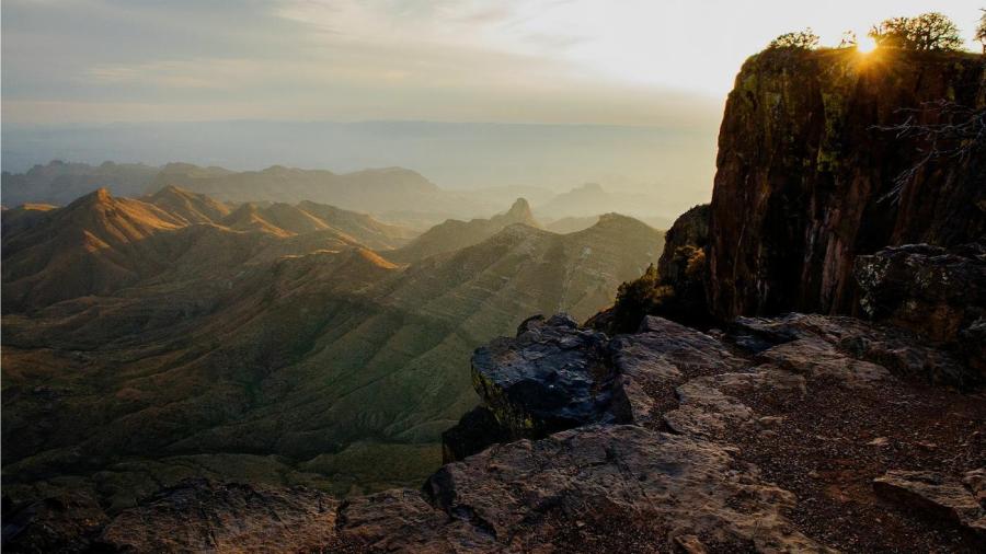
The High Plains are in the northern part of Texas, and this landform marks the southernmost part of the Great Plains in North America. This area is in the panhandle part of Texas, which includes Lubbock and Amarillo. South of the High Plains lies West Texas, a region noted for its dry climate and rugged mountains. Guadalupe Peak rises 8,749 feet in this part of Texas.


