What Are Some of the Major Landforms in Sweden?

Sweden’s landforms include mountains, forests and plains. Other Swedish landforms include islands, beaches and reefs. The country also has many lakes and rivers flowing through it.
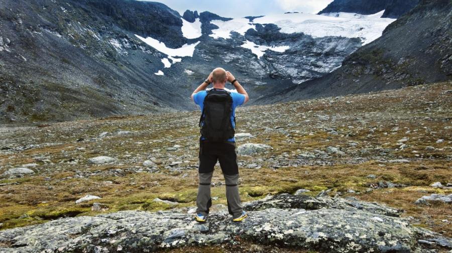
Sweden’s land is separated by some 101,000 lakes. The Scandinavian Mountains provide the country with a natural border with Norway. The mountain with the highest point in the Scandinavian Mountains is the Kebnekaise. This peak has an elevation of 7,000 feet. The northern portion of Sweden is above the Arctic Circle. This area has mountains that are snow-covered most of the time, along with forests. Hills and ridges can been seen coming down from this area.
The biggest islands of Sweden are Gotland and Oland. The beaches of these islands feature white sand all along the coastline in the southern portion of Sweden. There are many plains in the area near the coastline and at the base of the mountainous regions. The plains are where most of the country’s lakes are located. One of the largest lakes is Lake Vanern. Several rivers run through Sweden and connect to some of the lakes. The Angerman, Osterday and Ume are three of the country’s longest rivers. Many of the plains are rocky as they approach the mountains.


