What Are the Major Landforms of the Southeast Region?
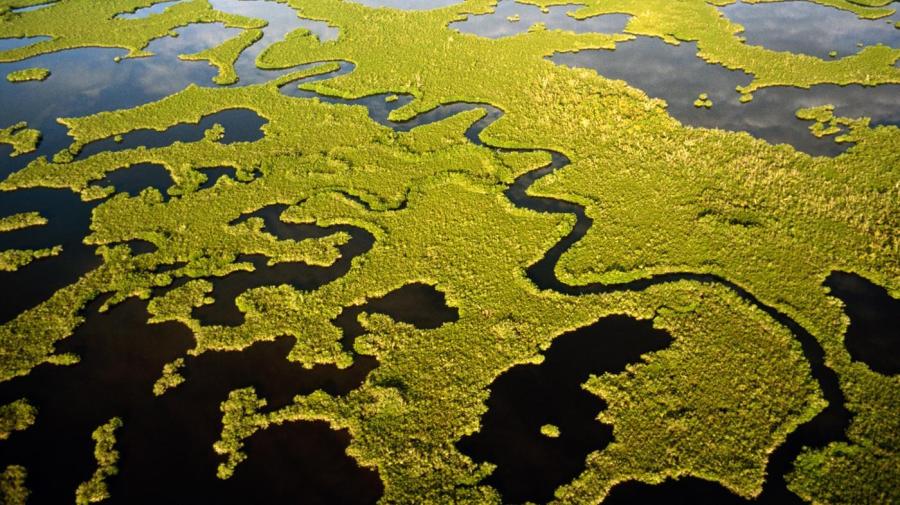
According to WorldAtlas, the major landforms in the Southeast region of the United States are the Everglades, Great Smoky Mountains, Lake Okeechobee and the Mississippi River Delta. The Appalachian Mountains are also considered a major landform of the Southeast United States, but only the southern tip, which includes the Great Smoky Mountains.
Wikipedia states that the Mississippi River Delta is the seventh largest delta on the entire planet and contains over 2.7 million acres of rich coastal wetlands. The Mississippi River, one of the longest rivers in North America, drains into this delta. However, because the Mississippi River is so long, only the delta is considered a southeast landform.
Florida’s Lake Okeechobee is the fourth largest lake in the United States and has a surface area of approximately 730 square miles, according to USA Today. Lake Okeechobee is an important source of fresh water in Florida. Lake Okeechobee is close to the rich Everglades, the largest subtropical wilderness region in the United States.
The Great Smoky Mountains are a subrange of the Appalachian Mountains. These mountains rise along the Tennessee and North Carolina border. This range is sometimes referred to as the Smoky Mountains and commonly shortened to just “Smokies.”


